The KMZ file contains geolocation data, such as a location label, and is mainly used in cartographic applications. Often this information can exchange users around the world and therefore the issue of opening this format is relevant.
Methods
So, in this article, consider in detail the Windows applications that support work with KMZ.Method 1: Google Earth
Google Earth is a universal cartographic program that contains pictures from the satellite of the entire surface of the planet Earth. KMZ is one of its main formats.
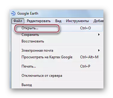
Run the application and in the main menu, click first on the file, and then to "open".
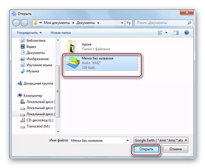
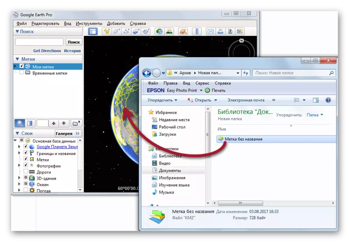
We move to the directory where the specified file lies, after which we highlight it and click "Open".
You can also simply move the file directly from the Windows directory to the map display area.
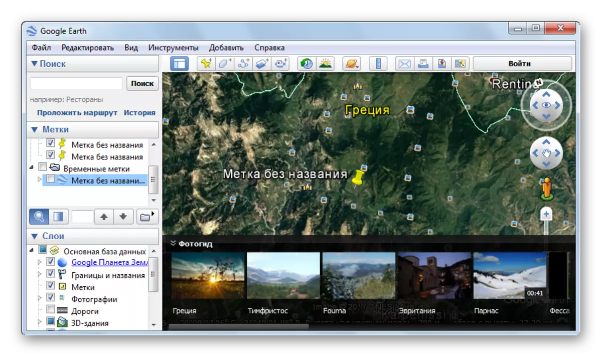
This is what the Google Earth interface window looks like, where the "label without a name" is displayed on the map, indicating the location of the object:
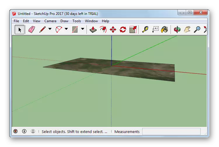
Method 2: Google Sketchup
Google Sketchup is an application for three-dimensional modeling. Here in the KMZ format may contain some data of the 3D model, which can be useful for demonstrating its species in real areas.
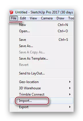
Opening the Skachcha and to import the file with "Import" file in "File".
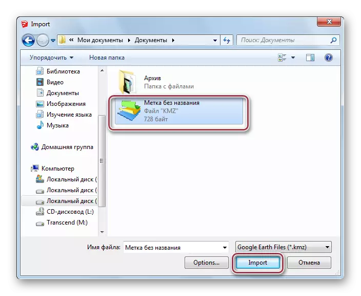
A browser window opens in which go to the desired folder with KMZ. Then, clicking on it, click "Import".
Open area plan in Appendix:
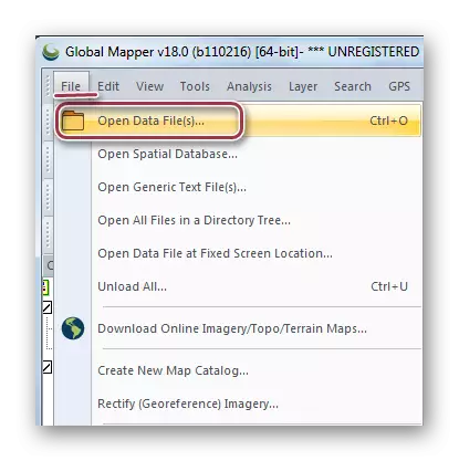
Method 3: Global Mapper
Global Mapper is a geo-information software that supports multiple cartographic, including KMZ, and graphic formats, which allows you to perform editing and conversion functions.
Download Global Mapper from the official website
After starting the global MAPPER select the Open Data File (S) item in the "File" menu.
In the conductor, we move to the directory with the desired object, allocate it and click on the "Open" button.
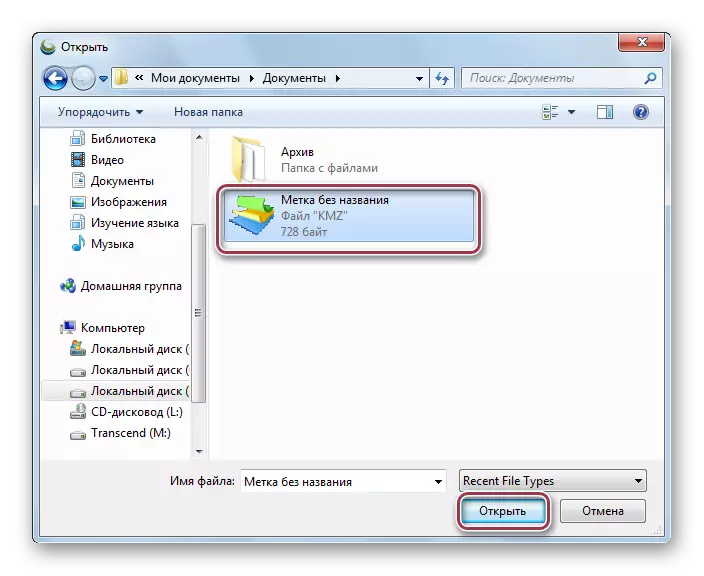
You can still drag the file to the program window from the conductor folder.
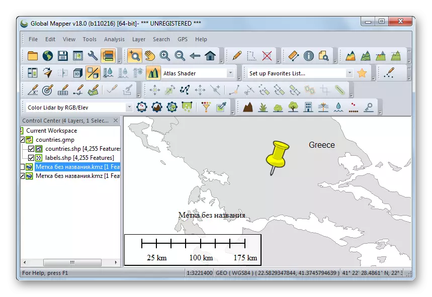
As a result, information about the location of the object is loaded, which is displayed on the map as a label.
Method 4: ArcGIS Explorer
The application is the desktop version of the ArcGIS Server geographic information platform. KMZ is used to set the object coordinates.
Download ArcGIS Explorer from the official website
Explorer can import KMZ format on the principle of DRAG-AND-DROP. By dragging the source file from the conductor folder to the program area.
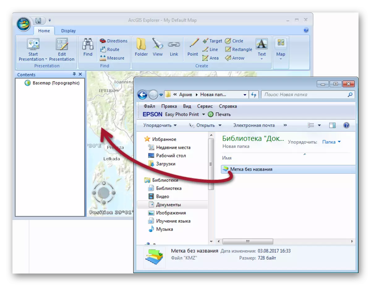
Open file.
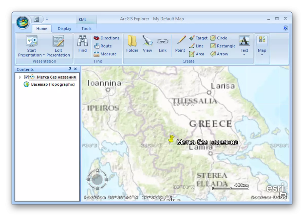
As the review showed, all methods open KMZ format. While Google Earth and Global Mapper only displays the location of the object, SketchUp uses KMZ as an addition to the 3D model. In the case of ArcGIS Explorer, the specified extension can be used to accurately determine the coordinates of engineering communications and land in the Earth Cadastre.