
Yandex.Maps are one of the popular online services of Yandex, providing all the necessary information about places, roads, the location of various objects and other things. Its functionality includes not only the show of the basic information itself, it allows you to pave the route and measure the distance from one point to another, by independently setting the trajectory of the movement. It is about measuring the distance and will be discussed in our today's material.
We measure the distance on Yandex.Maps
Yandex.Mapart service is available to use both on the site, as a complete computer version and through a mobile application where many of its features and differences are present. Let's alternately consider these two options so that all users have no more questions on this topic and everything could cope with the task.Method 1: Full version of the site
Next, you will see because of which function should be the full version of the site, since this tool is simply absent in the mobile application. Completely read the manual below, in order to study the considered opportunity in detail - this will fully use it.
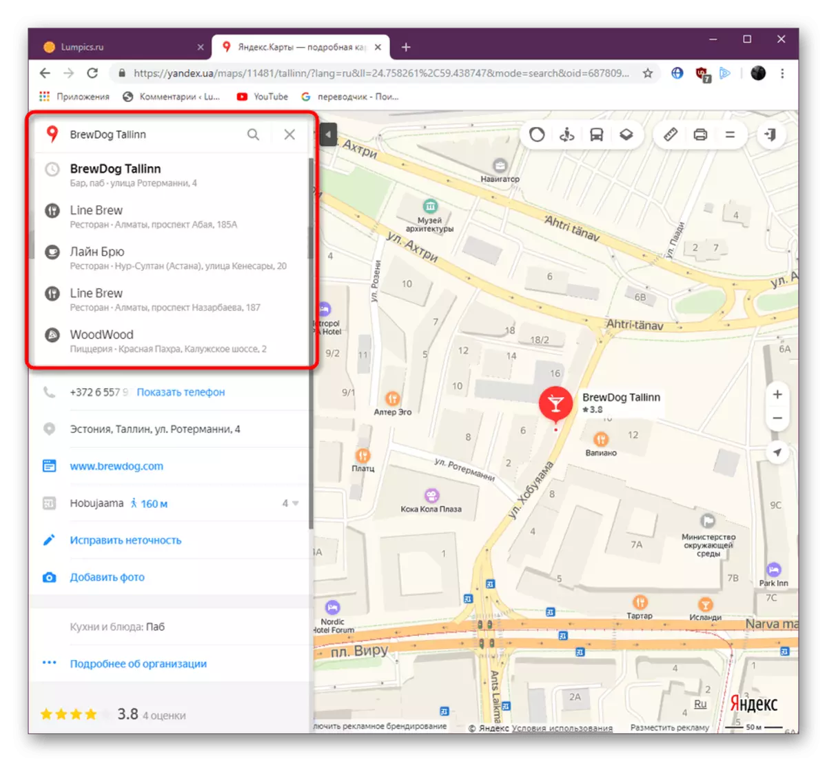
- Open the main page of the Yandex website, while turning on the link above. Turn to the "Maps" section.
- Here you can immediately find the place, the distance to which you want to measure by entering the data in the search string.
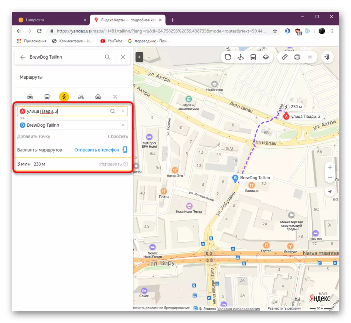
- If the distance is considered only on the basis of two points, it is easier to simply pave the route by selecting one of the ways of movement. Read more about this in our other material on the following link.
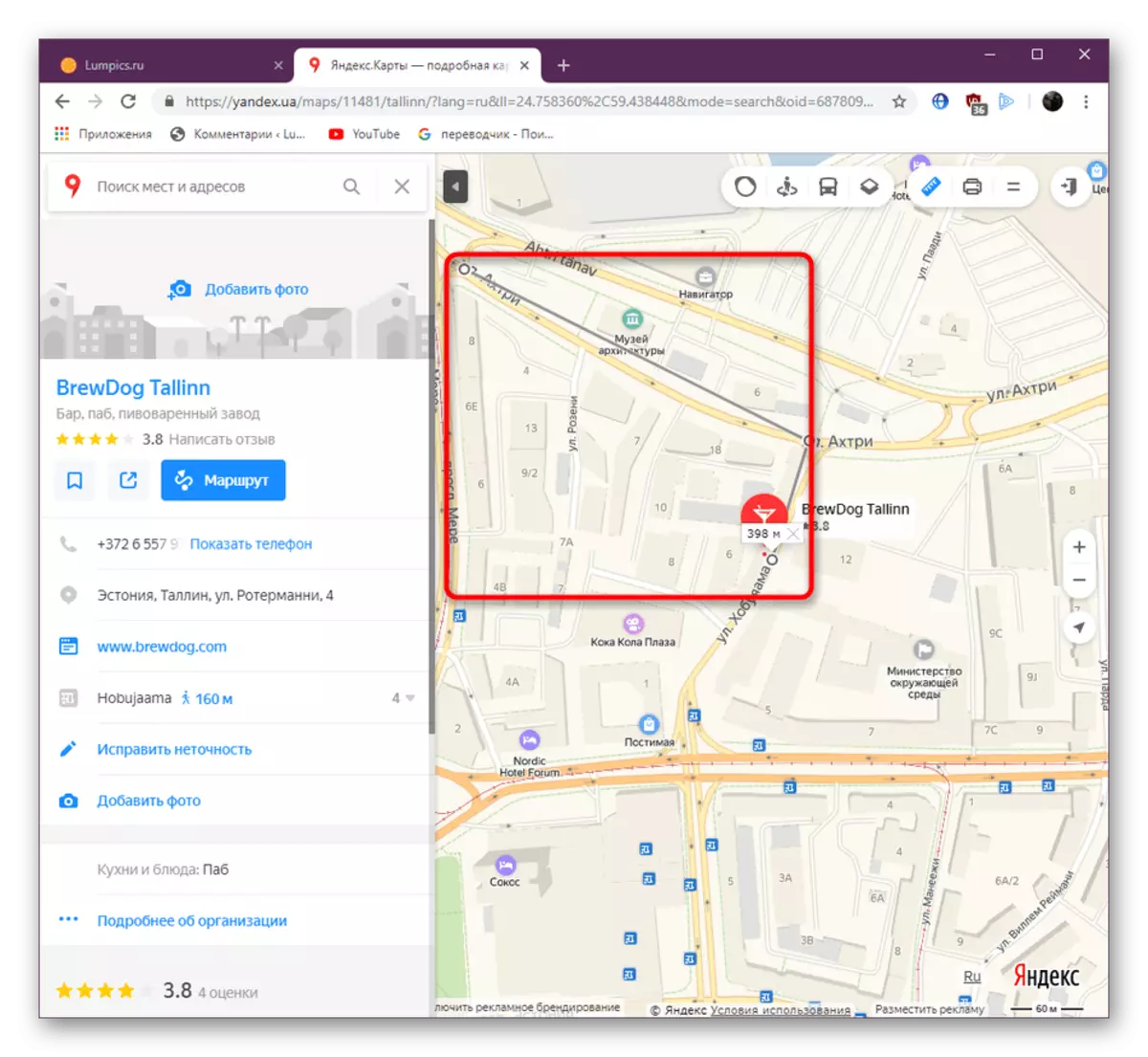
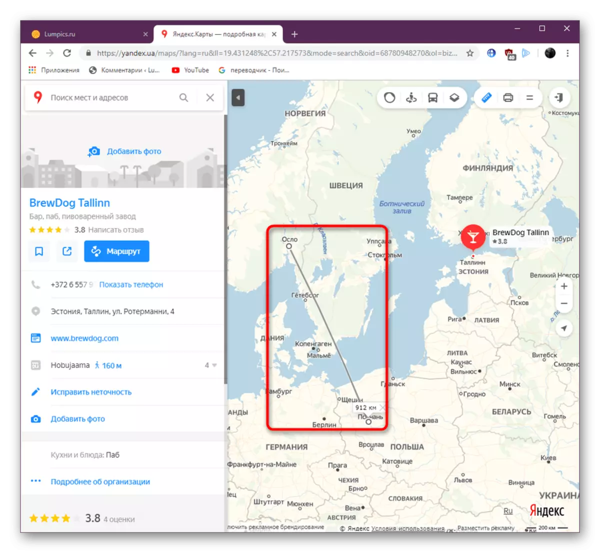
- We now turn directly to the instrument that we mentioned above. It is called a "line" and allows you to draw absolutely any route with any number of points. Activate it by clicking on the corresponding button.
- After press the left mouse button on one of the places to create the first point. It will be highlighted in a characteristic circle.
- Create an unlimited number of points to the end item using different lines for turns and other parts. If you have created one big line and you need to change it by adding a point, simply click on the desired part of the fragment and move it to the desired location.
- As you can observe in the screenshot, the length of the line is limited only by the card itself, and at the end point, the distance in kilometers or meters is always displayed.

Read more: How to pave the route to Yandex maps


Now you know how to measure the distance in the full version of the service under consideration. Next, let's discuss the execution of similar actions in a mobile application.
Method 2: Mobile application
Unfortunately, in the Mobile Application Yandex.Maps there is no "LINE" function, which causes some difficulties when trying to calculate the distance. This can be done only as it is shown in the following instruction.
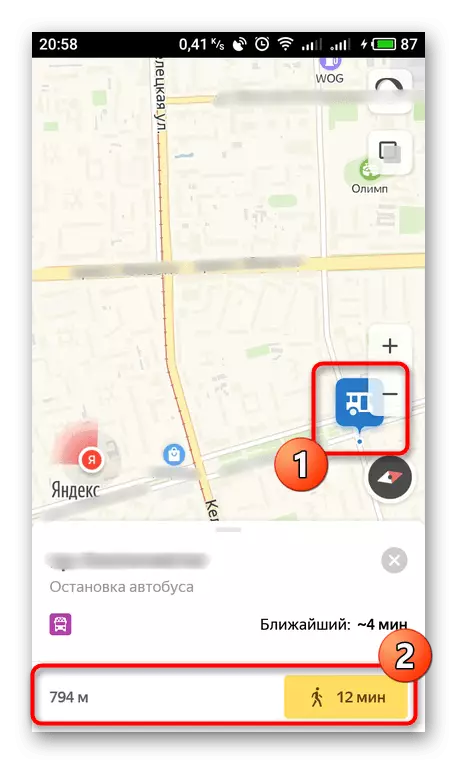
- Enable location definition and click anywhere close to yourself. Below you will see the distance to it. For long distances, this feature does not work.
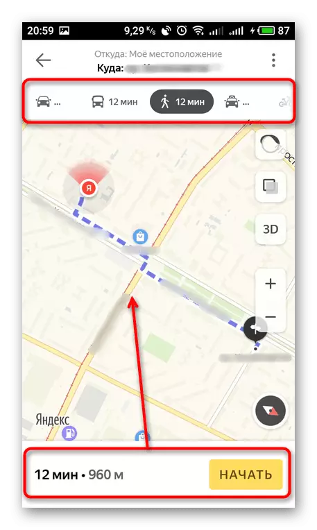
- However, nothing prevents the route to the route, indicating a convenient means of movement. This is also written in detail in the material that we have already recommended to get acquainted.
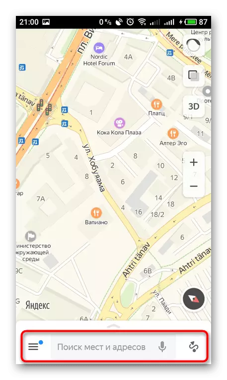
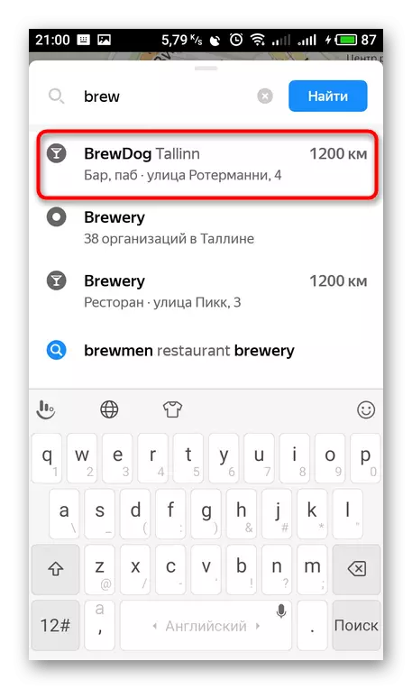
- In addition, you can enter a place or address in the search string.
- The results will show a suitable point, and the distance will be marked from you on the right.
As you can see, the functionality of the Mobile application Yandex.Maps are sufficiently scarce in terms of measurement of the distance, so it is best to do this with the full version of the site. Above you have been familiar with the step-by-step implementation of this operation, therefore no difficulties should have.